Wednesday, June 25, 2014

Lassen Volcanic National Park


National Parks are often full of surprises, and some lesser known parks house some of the most unexpected and sometimes stunning natural phenomenon. We’ve all heard about Yellowstone and Yosemite, the Grand Canyon, and of course Rocky Mountain National Park.  There are currently 58 designated National Parks in the National Park system, with a handful that grab most of the headlines and garner the largest number of visitors, but of late, we have been discovering the magic of some lesser known parks, including our recent visit to Lassen Volcanic National Park.

Just about 3 hours north (and slightly west) of Reno, on the eastern edge of northern California, Lassen was a natural choice for our first foray out of the Reno/Tahoe area during our days off. As we work just three days a week in the Galena Creek Visitor Center (Thurs, Fri &  Sat), we generally have four days to work with when we take off.  For this Lassen trip, we combined it with a trip to Chico, California, home of Sierra Nevada Brewing Company, making a loop of it.  The brewery tours (we did two different tours over a day and a half, as well as multiple trips to their on-site tap room) were fantastic and well worth the trip, but I’ll let Andre post about that later.

Back to Lassen Volcanic National Park...


View from Manzanita Lake, taken on a short morning hike
To paraphrase the national park brochure for this park, Lassen Peak is one of many active, dormant, extinct volcanoes found around the Pacific Ocean in what is referred to as the “ring of fire”. On this seismic zone, edges of the plates that form the Earth’s crust grind against each other, and one plate subducts, sinks down.  This subduction creates molten rock, magma, at the plate margins. As the magma rises into the continental crust it becomes the feeding chambers of volcanoes.

The park lies at the southern end of the Cascade Range, which is a chain of active volcanoes that stretches north all the way to British Columbia. The last eruptions at Lassen Peak occurred sporadically over a three year period between 1914 and 1916, with the largest occurring on May 22, 1915, profoundly altering  the surrounding area. Congress made the area a National Park in 1916 because of the eruption and active volcanic landscape. Despite the general inactivity at the site for almost 100 years, the park is very much alive - with evidence of volcanic activity shockingly accessible.
We entered through the Northwest section of the park, which boasts huge mountains created by lava flows, jagged craters, spectacular glaciated canyons, lakes and clear rushing streams. At higher elevations, snow can be found year-round. We camped overnight in the Manzanita Lake Camping area and experienced cold, for the first time in months.

In the morning we went for an early hike around Manzanita lake, putting on our winter hats and warm clothes to start with, but it warmed up nicely for the rest of the morning as we drove slowly south through the park, stopping for short hikes and views along the way, including a picnic lunch in the van at one of the trail heads.

The lake was teaming with life, in the water and in the air as well


Some snow covers the peaks year-round

View from the banks of Summit Lake


The real show-stopper for us, though, was the southern part of the park!  We had read that the southern edge of Lassen plateau featured hydrothermal areas offering boiling springs, bubbling mud pots and steaming fumaroles.  Seeing them in person was something else all together. From the  overwhelming smell of sulphur, the odd colored bodies of water, the crusty earth, steam vents and boiling pools of mud, it was like a journey to the center of the earth (and a bit disconcerting being just steps away from breaking through the crust.) All of the signs emphasized staying on the boardwalk and frankly, no one in their right mind would have dared step off it. Here are some photos from "Bumpass Hell", the most amazing part of the park visit!


Steaming, bubbling "Bumpass Hell" - Lassen's largest hydrothermal area
 
This boardwalk gets you up close and personal with the hydrothermal activity

Bubbling mud pots n the earths crust.
The yellow color is sulfate crystals forming on the edges


Some of the larger boiling mud pots were spitting violently

In the corner of Bumpass Hell was this amazing colored body of water
 
Steaming Fumaroles really made it clear that the earth was
very much ALIVE here!

This boiling mud pot was uncomfortably close to the road bed.
This is me "stirring the pot"

Steam seemed to be coming out of the hills as well!

Saturday, June 14, 2014

Being Passed by a Bike - or the importance of Having no Ego (Andre)


Laura and I spent a really enjoyable day when we were driving through Colorado at Colorado National Monument. The Colorado National Monument is a national park established in 1911.

For those who are interested and may not know already, the difference between a national park and monument has to do with how it was created. A national park is established as a result of an act of Congress. A national monument is established by a presidential order thus by-passing the need to get congressional approval. Often a national monument is established by a president and later designated as a national park when Congress comes to agreement. When we asked a ranger at the Colorado National Monument the difference, his first answer was that they are spelled differently. We persisted and got the above information!

A bit more on the subject, if you would like. Currently there is a debate in Colorado to seek designation of the Colorado National Monument as a national park. Senator Udall of Colorado has introduced such legislation as has a US representative from the area. There is a public comment period going on, but we were surprised to find out that opinions in the area are split. It seems that locals like having this park as their own near-private park in their backyard – the park is only 10 miles from Grand Junction, CO, a town of 60,000. They believe that if the park was designated a national park instead of a monument, more people would come and they would lose their access.

Anyways, it was a great park. Not particularly large (20,000 acres/32 square miles) but really beautiful. There were scenic canyons, impressive stone formations, a really impressive 30 mile long drive along the rim of a plateau that runs through the park, and lots of pinion pines and junipers. We sent an hour or so walking what was once described as ‘the crookedest road in America.’ This was the original road that went through the park and has now been converted to a hiking trail. Think lots if switchbacks and hairpin turns as you climb up the mountains on the eastern side of the park. By the way, one of the exhibits on the crooked road described that when the road was first built in the 1920s, cars could drive down the road but had to back up it since this was prior to fuel pumps and the steep grade prevented fuel from flowing to the engine!

We drove the length of the Rim Rock Road. Hiked some of the trails. And stopped at many of the scenic vistas along the way. We also got great looks at two common birds in the park – swifts, medium-size black and white birds, and violet green swallows. Both did some really agile acrobatics as they hunted for insects among the canyons.

So, back to being passed by a bike. As you may have read previously, we drive at what we call ‘van-speed’ what others might call slow. We rarely go above 60, usually preferring to be at 55. We’re generally not in a rush and like to increase our gas-mileage any way we can. We go even slower of course when road conditions call for it. When going down long steep grades as we are wont to do with some frequency, we shift down to second gear and go even slower to save the breaks.

Well, it turns out that Colorado National Monument is a favorite for ride bicyclists. There is steep climb upon entering the park, a long generally flat stretch along the plateau, and then a long down at the other end of the park. Posted speed limits in the park are mostly 25 with some stretches of 35. On the way up we were passing the bikes, but not so much on the way down!

As we driving towards the park exit, there was a long steep down of 5 or 6 miles. Again, lots of hairpin turns and switchbacks. We were driving in second gear probably doing the speed limit of 25. I had my window open, we were listening to music and enjoying the sight. Then what did I hear out the window, a loud and clear, “On your left!” If you have spent any times of bike paths this is the universal signal that you are about to be passed as you walk by a bicyclist – so move over. Yes we moved over and were quickly passed by nice gentleman on his bike who was going faster than our van.

When we got down to the bottom, said gentleman was already at his car, loading his bike, and waived and said thanks as we drove by! Just another day on the road.

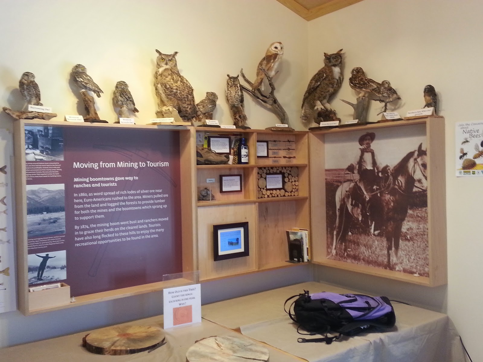
Here’s some pictures from the great time we had at Colorado National Monument, enjoy!


Wednesday, June 11, 2014

New trails, New adventures

Over the last week or so, we have been slowly starting to explore the trails here in the Galena Creek Regional Park and the Mount Rose Wilderness. We enjoyed hiking the popular 9.2 mile Jones Whites Creek Loop trail last week, and yesterday after completing a First Aid and CPR course that lasted until about 3:30, we headed out for another long hike, starting up into the mountains at about 4:30pm on a hike out (and up) to Church's Pond along the Jones Creek and Church's Pond trails.

The weather here is consistently pleasant, sunny, dry and often with a pleasant breeze at the higher elevations. It is light until almost 9pm, so we had plenty of time to get the 3 hour hike in before dark. Here are some photos to give you a taste of our new environment. The first group of photos were taken on the short hiking path just behind the visitor center that we work at. The second group were taken yesterday afternoon/evening on our 3 hour hike out to Church's Pond.

Trail head just behind the Galena Creek Visitor Center

The trails are pretty, but dry and dusty here in June  
 
This piney landscape also has pockets of Aspen trees that rustle softly in the breeze.
 In this photo, they are growing around a dry creek, under and around this walking bridge.


One of the giant pine cones from the tall Jeffrey Pines
that abound at this elevation in the Sierra Nevada's


Church's Pond, nestled in the Mt. Rose Wilderness at about 8200 ft elevation 


Thursday, June 5, 2014

Learning a New Landscape..

Galena Creek Visitor Center, Mt. Rose Highway, Reno Nevada
 
 
Well, today was our first day of work at the Galena Creek Visitor Center and we survived it well. While the bulk of the information we are providing to visitors is completely new to us (history, geography, geology & general information about the area, wildlife, trails, flower and fauna, etc.), the basics of visitor services and interpretation are basically the same skills we were introduced to and grew proficient at last summer during our Big Bend National Park experience and are hugely useful here in our new role.

Today was a basic introduction day where we learn how to open and close, make sure we have all the appropriate keys, learn how to turn on all of the video screens, bird sounds, computer, etc.  We spent a good amount of time looking at the exhibits, reviewing the park calendar to familiarize ourselves with past and upcoming presentations and events and thumbing through the many reference brochures on the counter and on the walls and also organizing some of our new workspace behind the counter. I also spent a good amount of time taking sign-ups over the phone for the summer day camps and residential camps that the Great Basin Institute (the non-profit that we work for) runs here over the summer months at nearby Camp WeChMe.


Here are just a few of the displays in the Visitor Center


As you can see, we are in another heavy "birding" destination

Although we have much to learn about the area, we have learned to make use of all of the resources available to us including maps, field guides, web research, as well as absorbing as much detail as possible through questions and observation of those with greater expertise here in the visitor center.

The most common question today was about hiking conditions up on the peak of Mount Rose, a popular hiking destination in the nearby Mt. Rose Wilderness. Basically whether there was still snow (Yes!) and when we expect it to be clear (maybe when the snow plows get there???). Actually, my resources said that the snow pack is usually melted and the trail clear by mid-June so we should probably only get the question for a few more weeks!  Here is a beautiful photo I took from the Visitor Center Parking lot when I was out scouting for trash in the lot and on the adjoining trails. 


 You can see the snow still atop Mt. Rose in the distance


The visitor center is a joint effort between the U.S. Forest Service,
 Washoe County, and the Great Basin Institute
This is a beautiful area and we have taken the opportunity to do some hiking on some of the pretty hiking trails that basically leave from the back of the Ranger House that we are living in!  It's a half mile hike to the visitor center in the morning (and the evening), and we are enjoying arriving on foot, rather than having a commute.  I've taken some great photos that I will continue to post over the next few days to show you more of the area.

Tuesday, June 3, 2014

Bailey Train Yard, North Platte, Nebraska

I promised I would revisit some of the highlights that I neglected to share over the last leg of our cross country journey. One of the most amazing things we saw along the way was in North Platte, Nebraska, The Golden Spike Tower and Visitor Center of Union Pacific Railway's famous "Bailey Yard".


This massive train yard is the world's largest railroad "classification" yard.  It is 8 miles long and 2 miles wide and has 200 different tracks totaling 315 miles of track. This includes 17 receiving and 16 departure tracks, as well as 985 switches and 766 turnouts.


Union Pacific's Bailey Train Yard processes an average of 139 trains and over 14,000 railroad cars per day. Freight trains filled with coal, lumber grain, commercial goods and a host of other products moving from hubs in Chicago or Kansas City, from the west coast and the east, meeting in this monster of a train yard to be broken up and reclassified (assembled into new trains) and inspected, with problem locomotives or cars swapped out and repaired.


This is the service yard where ailing cars and locomotives wait in line
 at the service bays to be serviced before re-joining the force.

The Golden Spike Tower allows the visitor to view the entire operation from any direction as trains come in (about one every 15 minutes), get broken up, reassembled to form new trains and are sent on their way in as little as 90 minutes.


On of the coolest things to see were the two hump yards. These were basically hills (or mounds) where trains were pushed up on a single track and then, through an automated process, de-coupled and sent rolling down the hill, channeling each car to one of the 114 bowl tracks, used to form new trains headed for destinations across North America and the to the Canadian and Mexican borders.


This is one of the hump yards. The single train car has been decoupled from the rest of the train
and is rolling down the "hump" toward it's destination track to become part of a new train.


Incoming trains are alerted to the change to "Central Time"
 
We stayed at the train yard visitor center for about two hours and had the opportunity to talk to a recently-retired "train man" who was now a volunteer in the visitor center. He loved to talk about the train yard and told us about the operations center in Omaha where most of the planning, coordination and automation of the train yard occurred and he generously allowed us to pick his brain for about an hour about every aspect of the train yard. It was an amazing day and well worth the $8 admission price.


Monday, June 2, 2014

Reno at Last...


Just a quick post. We arrived in Reno a few days ago and spent two nights hanging out in the city before heading over to our new post a Galena Creek Visitor Center which is technically still in Reno, but is slightly out of the city heading up into the mountains. It is on a scenic mountain route (431) that goes between Reno and Lake Tahoe. Still settling into the house and expect to actually start work at the visitor center on Weds or Thursday. Spent yesterday with one of our other house mates driving around Lake Tahoe for the first time. We were able to use the Great Basin Institute Truck, so we didn't have to drive the van up and down the steep hills.  Here are some photos from the day.


On the Shore of Tahoe


Eagle Falls


Yes, we are back in Bear Country!

Emerald Bay