As we've noted in other blog entries, we are slowly working our way down the long list of hiking trails in the park and have now hiked on the majority of the trails here in the Chisos Complex and in many other parts of the park. There are a few long routes across the desert floor that we will likely not get to during our time here, primarily because of the temperatures (these are multi-day loops and routes that are not recommended during the summer months due to the excessive temperatures), but for the most part, we have succeeded in exploring a respectable portion of this vast park. Here is a list of the trails we've hiked so far.
Basin Loop
Boquillas Canyon
Boot Canyon
Burro Spring
Chihuahuan Desert Nature Trail
Dorgan House
East Rim
Emory Peak
Ernst Tinaja
Grapevine Hills (Balanced Rock)
Hot Springs Historic Trail
Laguna Meadows
Lost Mine
Lower Burro Mesa Pour-off
Panther Path
Pinnacles Trail
Rio Grande Village Nature Trail
Sam Nail Ranch
Santa Elena Canyon
South Rim
Window Trail
Window View Trail
Dog Canyon
Mariscal Canyon (partial)
Upper Burro Mesa Pour-off
Ward Spring Trail
Still on the list to do are:
Colima Trail
Daniels Ranch to Hot Springs
Juniper Canyon
Oak Spring
Tuff Canyon
Mule Ears Spring
Chimneys
Pine Canyon
Some of these we may not get to for logistical reasons (they are only accessed via other longer trails or are not loops and involve dropping a second car at another location), but we are going to do our best to cover them if we can. Not listed are a few more remote primitive trails that, though they are named trails, are infrequently hiked and/or too logistically challenging to get to with no secondary vehicle and a primary vehicle that cannot be driven on many of the non-maintained back roads.
That said, we do try to take advantage of the times when we have a park vehicle to explore as much as we can. Often this will be after work - not the ideal time to hike, as it is often 100 degrees or more - but we take what we can get!
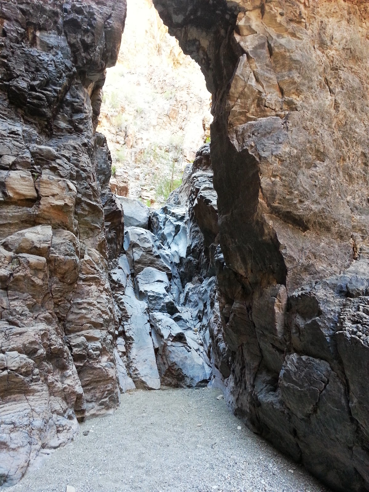
On Sunday after work we did one of these such hikes, spending about 2 hours hiking out to explore the Upper Burro Mesa Pour-off . Much earlier in our time here in the park, we had hiked out to the lower part of this pour-off and enjoyed seeing the almost cylindrical formation carved out by gravity and millions of years of water. The upper and lower portions of this formation are two separate hikes because the steep drop off makes it impossible to get from one part to the other; one must be approached from a higher elevation via a different approach trail and access point.
Here are some photos from Sunday's hike. By the way, this one too was at 100 degrees as well!

Approach trail through desert

Desert trail turns to canyon trail

Interesting rock formation visible from inside the canyon

Scrambling down into the last flat pocket that forms the bowl before the pour-off

Looking over the edge to the drop below

A closer view from the edge
View as we climbed back up out of the bowl for the return hike
No comments:
Post a Comment